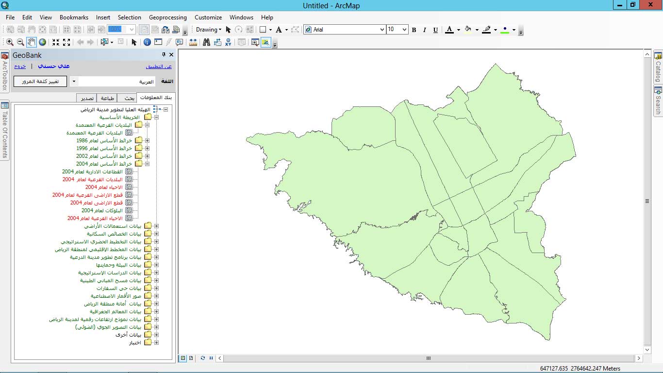
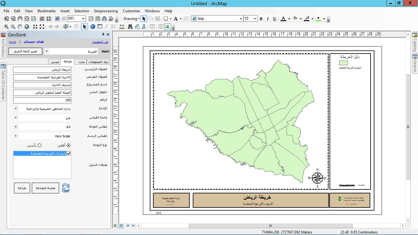
GeoBank was designed to serve as an ESRI extension to enable access and use of ArcGIS on desktops. A powerful mapping and spatial analytics software, ArcGIS offers unique capabilities and features for applying location-based analytics to business practices. With GeoBank, you can easily make maps, get data, analyze insights, and share and collaborate conveniently on your desktop. GeoBank supports and is compatible with ArcGIS 10.x versions.
The main features of GeoBank include:
ESRI extension which enables updates and batches for business practices and requirements.
Hidden server connection parameters that block direct access to GIS data source, such as SDE.
Admin access that enables them to manage logical structure of the data and hide physical database designs.
Enhanced security control to protect physical dataset only admins are allowed to provide user permission on feature class level.
Multi-level administration authorityy that enables creating super administrators and administrators for different departments.
Multi-language setting using Google Translate which can be modified and customized according to users’ preferences; the application is installed with both English and Arabic language packs.
Powerful search engine that enables layer search using layer name, description, and metadata keywords in any language.
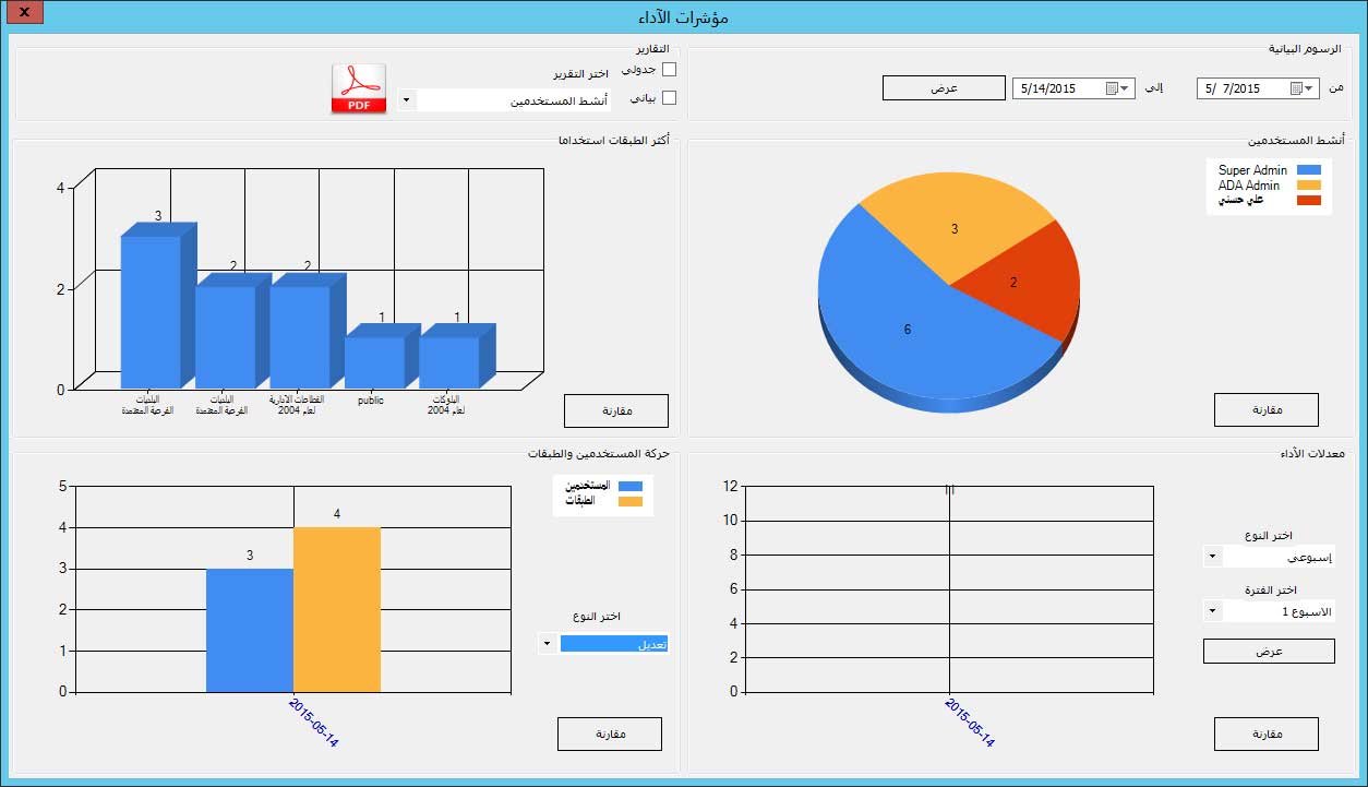
Dashboard and report that tracks usage of data.
Centralize look and feel of GIS data through prepared layer files published by administrators.